About 4 to 8 inches of snow are expected to fall in the Juneau and Haines areas starting at lunchtime Friday.
The National Weather Service issued a winter storm warning because of possible threats to life and property.
Forecaster Aaron Jacobs said the heaviest snowfall will occur Friday evening and then should diminish by Saturday morning.
“We’re tracking a weather system that’s going to be coming out of the southwest and move through the area through Saturday,” Jacobs said. “What that weather front is going to be doing is going to increase the warmer air and it’s going to move over the top of this colder air and produce some snow for the Juneau area and the rest of Southeast Alaska.”
Gustavus may see slightly higher accumulations of snow, about 5 to 10 inches. It will also fall about 4 hours earlier than in Juneau.
Skiers and snowboarders hope that snow will finally kick the winter season into high gear.
“We’re still really needing one more big storm to get everything in good shape.” Eaglecrest Ski Area General Manager Dave Scanlan said.
There’s a 5-inch base on the lower part of the mountain and 25 inches at the top.
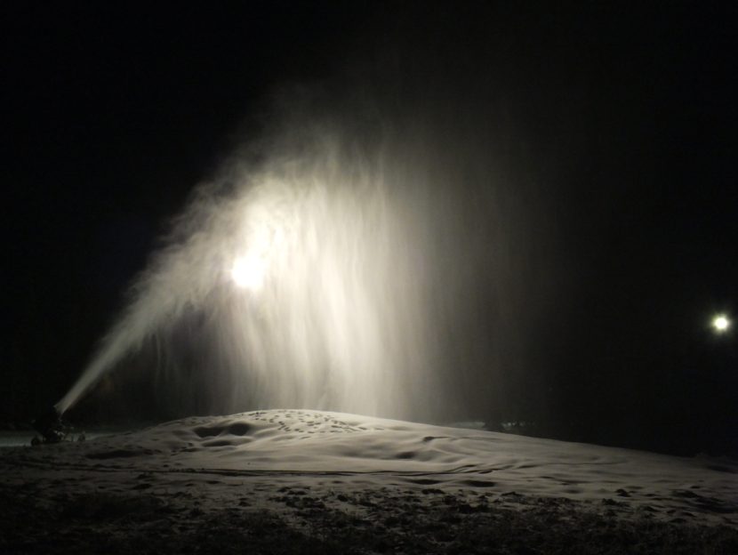
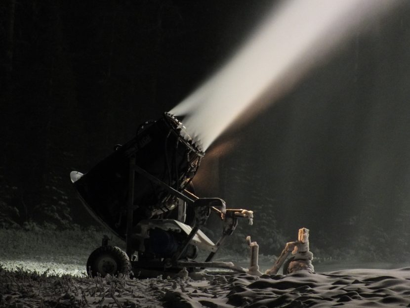
Scanlan said snow making machines are operating on the lower part of the mountain, but there’s only enough base to run the Porcupine Lift on weekends.
Eager snowboarders and skiers already have been hiking up the mountain.
“For others that are just looking up and seeing a lot of people hiking up the mountain and wondering ‘Well, gosh, I see all these people hiking up the mountain. Why aren’t all the lifts spinning?’” Scanlan said.
Scanlan answers that he can’t run the Hooter, Ptarmigan and Black Bear lifts until there’s more snow.
All that extra traffic would quickly obliterate the base on the lower mountain.
“When you have people hiking the mountain, you might only have a hundred people come down through that section a day,” Scanlan said. “As opposed to spinning the chairlifts, you’re going to have 200-plus people traveling through that same area every hour.”
For those Juneau residents who will be clearing snow instead of skiing it this weekend, Aaron Jacobs of the National Weather Service has a key tip.
“As soon as this snow has stopped, I would start moving it because once this warm air and the rain moves in on Saturday afternoon, evening, and onto Sunday, it’s going to be very hard to manage,” Jacobs said.
That incoming warm front is expected to produce rain and raise temperatures into the 40s at sea level and at Eaglecrest later this weekend.
KTOO’s Tripp J Crouse contributed to this story.

