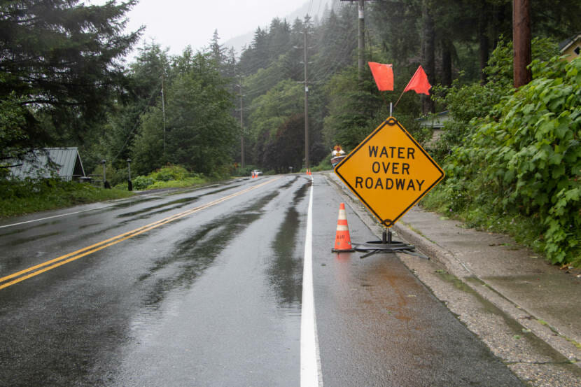
Headed into Labor Day weekend, the National Weather Service is predicting multiple heavy rain events.
National Weather Service Meteorologist Edward Liske says the system will start up near Yakutat and reach Juneau on Friday. The heaviest rainfall in Juneau is expected Friday and Saturday.
“It looks like we’re looking at around, oh, three to maybe four inches of rain total,” Liske said.
The rain may continue into next week.
“And then finally we dry out, possibly, toward mid next week,” Liske said.
He said flooding is not expected at this time, but rivers and creeks will rise, and residents may see water pooling in low lying areas or roads.
These wide bands of rain are known as atmospheric rivers, and Liske says they are common in Juneau.
“It’s basically a river of moisture in the atmosphere from the tropics or subtropics that is being directed right into our area,” he said. “And that, combined with our high terrain, is just ringing all that moisture out as rain on top of us. And that’s what’s given us the high rain rates and the heavy rainfall.”
The term “atmospheric river” is a newer term to describe this weather event, Liske said. Southeast Alaskans may remember it being called a “pineapple express” in the past.
To date, 2022 has beaten the previous rainfall record (from 2015) by two inches. Nearly 54 inches of precipitation has been recorded at the airport since January 1st.
This year had record-setting winter precipitation. And even though Juneau had a rather dry May and June, the whole year has remained ahead of pace.
“It’s been a wet year still,” Liske said.
Monday was a record breaking rainfall day of 2.28 inches, beating the previous record (2009) for Aug. 29 by nearly a full inch.
