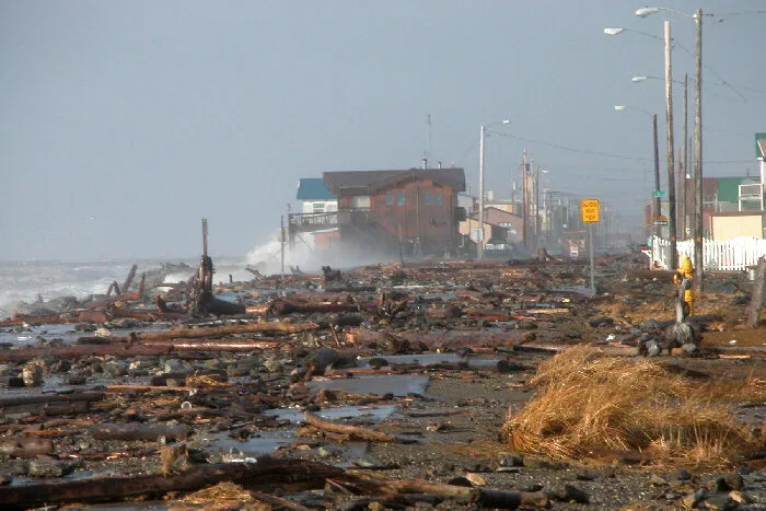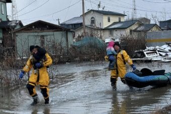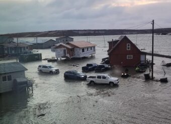
The National Weather Service is forecasting coastal flooding in Nome and across Western Alaska this weekend, with potential storm surge reaching up to 14 feet above normal levels. If this multi-day fall storm hits Western Alaska as predicted, storm surge would reach levels rarely seen over the last 50 years.
Based on the latest forecast from the Weather Service office in Fairbanks, significant storm surge and high wind will affect the coast of Western Alaska from Point Hope south to Hooper Bay starting tomorrow.
The Weather Service currently estimates water levels will rise between eight and 11 feet above normal high tides in the Nome area, with the likelihood of the Council Road being completely covered in water.
The forecast also calls for powerful winds along the Bering Sea coast, with gusts as high as 90 mph possible in some places.
The storm could be just as damaging as the November, 2011 Bering Sea superstorm and have similar coastal flood impacts, according to the Weather Service. The City of Nome announced on social media that the residents in Belmont Point area should be prepared to evacuate if necessary.
Climatologist Rick Thoman with the Alaska Center for Climate Assessment and Policy at the University of Alaska Fairbanks told KNOM via email that the latest information suggests Nome will see some of the highest ocean levels ever recorded since the local sea wall was constructed. Nome’s seawall was completed in June of 1951, according to the U.S. Army Corps of Engineers, but updated to something similar to its current form in the mid-1970s.
https://twitter.com/AlaskaWx/status/1570481928813551616
Thoman said that the timing of tides and the highest storm surges will determine where coastal flooding will be the most severe.
“Coastal flooding is certain this weekend, the only question is how bad,” he said.
Even the UAF research vessel Sikuliaq, which was docked in Nome the afternoon of Sept. 14, left town and headed north ahead of schedule to avoid the worst of the storm.
This post has been updated.


