Update — Dec. 12, 2:20 p.m.
On Tuesday, the National Weather Service issued a high wind warning for Juneau, effective through the early morning hours on Wednesday.
The warning says Juneau could see winds from 25-35 mph and gusts up to 60 mph.
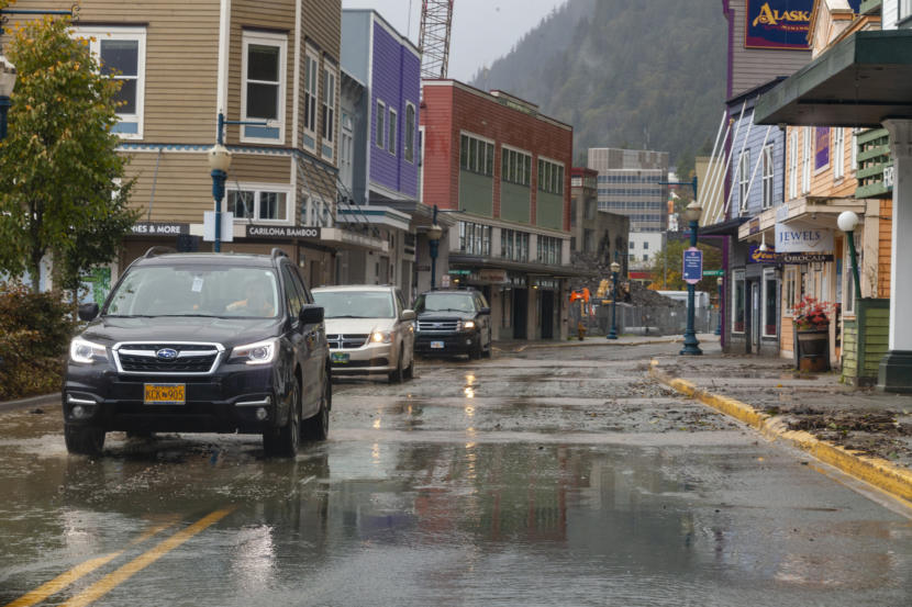
Alaska Electric Light and Power reported several outages out the road in Juneau on Tuesday. One downed tree cut off power to homes near Tee Harbor and Amalga Harbor, and another caused an outage on Stephens Spur Road.
The power company says that more outages are likely as winds continue.
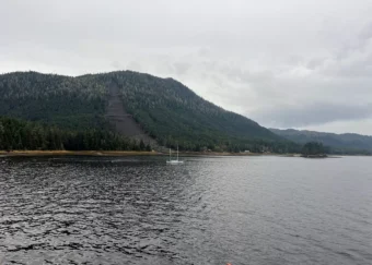
Damage to boats and other property is also possible as the storms continue. Juneau Docks and Harbors put out a reminder for boat owners to secure their mooring lines and ensure their balayage pumps are working as the rain and wind continue through the evening.
Original story
The National Weather Service has issued high wind and flood watches from Juneau down to Ketchikan.
Meteorologist Grant Smith said several storms will pass over Southeast Alaska early in the week, bringing heavy rain and strong wind to the region.
“What we’re looking at is just a series of strong low pressure systems moving into the Gulf that are going to be swinging in from the south over the panhandle,” he said.
A flood watch is in effect from Monday evening through Wednesday morning for nearly every community in the region, including Juneau, Gustavus, Sitka, Wrangell, Petersburg, Ketchikan and Prince of Wales Island.
In Haines and Skagway, some of that precipitation will come down as snow first — a winter storm warning is in effect for Monday. But by Monday night, rain is expected to pick up across the whole panhandle, bringing two to four inches by Wednesday.
The storms will also bring warmer temperatures, which could melt the snow that has accumulated across the region. Together, rain and snowmelt could cause flooding in low-lying areas, but Smith said water levels are generally pretty low across the region. That means lakes, rivers and streams will rise but may not break their banks.
Rainfall will come with high winds in some places. A high wind watch is in effect Tuesday and Wednesday for Skagway, Juneau, Ketchikan and Prince of Wales Island. Sustained winds between 20 and 30 mph are expected, along with gusts up to 60 mph, which could bring tree falls, power outages and other wind damage.
The combination of rainfall and strong winds means that isolated landslides are also possible on steep hillsides.
“Do we expect them to happen? Are we forecasting them? No, we’re not,” Smith said. “It’s just that with the atmospheric conditions that we are forecasting, we have seen them in the past. So that’s a red flag.”
The forecast will be updated weather.gov as the storms make landfall.