Alaska is home to breathtaking fjords, massive glaciers and a lot of mountainous nooks and crannies where nobody lives.
According to Mike West, director of the Alaska Earthquake Center, that rugged terrain is moving all the time in ways people might never see.
“Alaska is one of the few places where you can have a really massive landslide and nobody knows about it,” he said.
That happened 2015, when one of those remote landslides sent 180 million tons of rock tumbling into the Taan Fjord in Icy Bay. The force created a wave that crashed more than 620 feet up the shoreline.
And back in 1958, a massive earthquake triggered the tallest tsunami in recorded history in Lituya Bay. The wave killed five people, and stripped land, rocks and trees up to an elevation of 1,720 feet. At first, researchers couldn’t figure out how it reached that high, until they discovered that a landslide from the head of the bay created a wave of massive proportions.
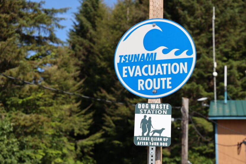
Research seismologist Ezgi Karasözen with the University of Alaska Fairbanks said megatsunamis like that have the potential to be devastating for Alaska’s coastal communities.
“But we haven’t been monitoring these landslides routinely,” Karasözen said.
Until now. West and Karasözen have teamed up to develop a prototype method that can detect wave-generating landslides within minutes. They explain the new method in an article published in the journal The Seismic Record last month.
Luckily, they didn’t have to start from scratch. Since the Good Friday Earthquake wreaked havoc 60 years ago this week, the state and other agencies have installed hundreds of seismometers that detect earthquakes and all kinds of geologic movement. The prototype taps into that existing network.
“So we have the infrastructure in place already,” West said. “It’s the same dang data – just analyzed in a different way.”
But the analysis is where things get tricky — because earthquakes, calving glaciers and all kinds of human noise create their own vibrations that can muddle the seismic records.
“When you only search for the landslide signal, the other signals become like noise to you, and you want to get rid of them,” Karasözen said.
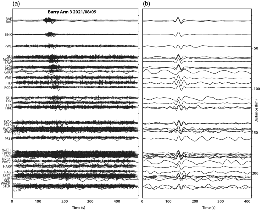
Seismic signals can be read on a graph of vibrations over time. Most earthquakes happen briefly, just a few seconds. That motion creates what’s known as a short-period wave.
A lot of things create short-period waves, so the seismic record gets really busy. But landslides routinely last a minute or more, which means they create more distinct long-period waves, too.
The new detection method routinely scans the seismic record for those distinct, long-period landslide signals. Once it finds one, it runs that reading through an algorithm that calculates the rough size and location of the slide.
Karasözen says a detection system like this is more important now than ever because the risk of megatsunamis is growing as human-caused climate change melts glaciers.
“Once they retreat, these steep fjords we have all over coastal Alaska are losing their support,” Karasözen said. “If they were to fail — these slopes — they would fall into the water body and could trigger a tsunami that we wouldn’t know about.”
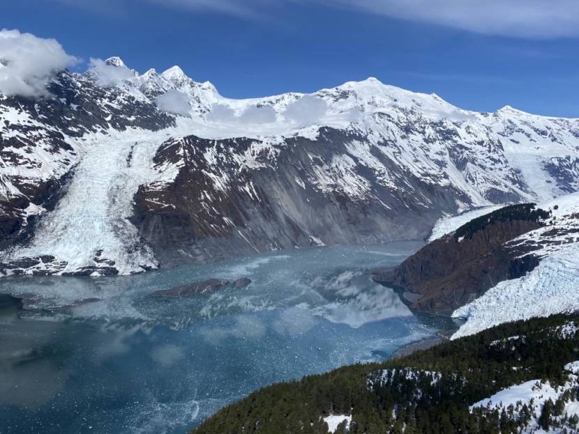
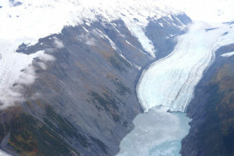
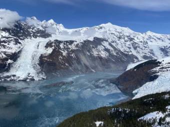
Barry’s Arm in Prince William Sound is probably the most well known example of this phenomenon. The steep face of the fjord, which was once buttressed by the retreating Barry Glacier, slumped hundreds of meters over the past few decades.
Scientists say a large tsunami there could hit nearby communities like Whittier within 20 minutes. Obviously that hasn’t happened yet. But West said that doesn’t mean it won’t happen in the future. He used the analogy of a dart board.
“I’m a really lousy darts player,” West said. “If I’m shooting for bullseyes, the vast majority of my darts are going all over the place, they’re missing,” West said.
Like in Barry’s Arm, where there have been at least three landslides in the last five years, but no big tsunami.
“But every once in a while, that dart, by coincidence, happens to line up with a bullseye,” West said. “And kind of the same thing is true for these landslides, which are happening all over the place, but most of the time don’t intersect with population centers.”
West and Karasözen say it’s their job to prepare before the day a landslide-triggered tsunami hits the bullseye. Their detection prototype has been collecting slide data in Barry’s Arm since last summer.
Every landslide they detect helps train the technology to get more precise. At the same time, they need more scientists who know how to interpret the data. That means it could be a long time before the method can be used as a practical warning system.
While monitoring of traditional earthquake-triggered tsunamis in the state has been honed over the last 60 years since the Good Friday earthquake, West points out that the science for detecting landslide-triggered tsunamis is still very young — but the new method is still a major step for tsunami preparedness.
“I’ve been humbled enough times on the earthquake side of things to appreciate that we still have a ways to go,” he said. “But this is research that has the potential to protect people.”
