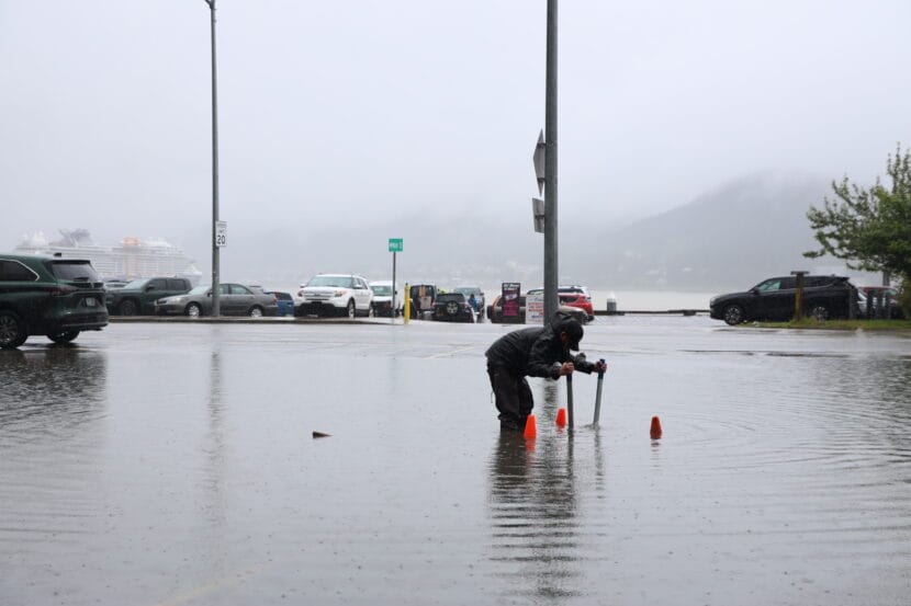
The wet weather that drenched much of Southeast Alaska over the weekend is expected to persist through tomorrow morning. Rainfall will be especially intense this evening in Juneau, Skagway, Haines Gustavus, Hoonah and Tenakee Springs.
“That is when we’re expecting the last batch of heaviest rain to really push through the area,” said meteorologist Sean Jones, with the National Weather Service Office in Juneau.
Heavy rainfall has saturated the ground, elevating the risk of landslides, and rivers and creeks are rising, especially in the northern panhandle.
The National Weather Service has issued a flood advisory for the Mendenhall Valley in Juneau, especially Auke Lake and Jordan Creek, effective through 10 am Tuesday morning.
A flood advisory is also in effect for the Chilkat River, as snowmelt and runoff push water levels in the basin higher.
Jones says this amount of rainfall is pretty typical during Southeast Alaska’s rainy season, which usually begins in the fall. But it comes after a stretch of rain last week, when multiple single day rainfall records were broken across the region.
“Also, this was a long duration event, where we had significant rain totals over multiple days,” Jones said. “So that is part of the reason that it’s more impactful.”
Between 3 and 8 inches of rain has already fallen, and the forecast calls for 1 to 2 more inches before the storm lightens up on Tuesday morning.
By Tuesday evening, moderate to heavy rainfall may start up again, when an incoming wet front stalls over the central panhandle between Wrangell and Juneau. That could drop an additional 2 to 4 inches of rain on soil that’s already saturated, especially around Juneau and Petersburg.


