Updated — 9/24 at 6:32 PM
Southeast Alaska is in for another drenching from an atmospheric river, starting Sunday and continuing into next week.
A warm, wet weather front is headed northeast from Hawaii, bringing heavy rain to the southern panhandle first.
“Then that’s going to kind of lift north a little bit, but then we’ve got another wave along this front that’s going to impact the area continuing into Monday into Tuesday,” said Aaron Jacobs, senior service hydrologist for the National Weather Service in Juneau.
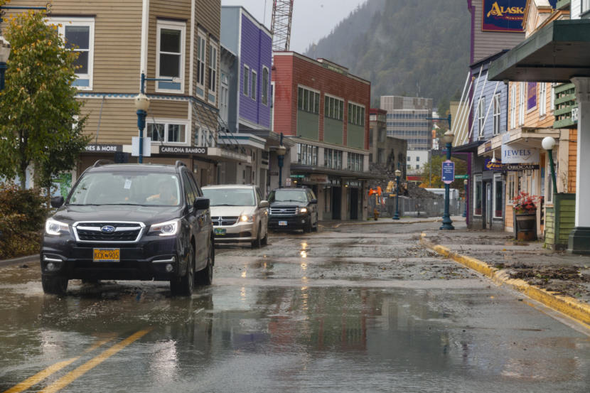
The heaviest and most consistent precipitation is expected to occur in the northern panhandle, with Juneau seeing anywhere from six to eight inches of rain. The biggest flooding concerns will be Monday night into Tuesday as rain continues.
“Things will change between now and Tuesday, but just stay tuned to the National Weather Service for any updates on the system,” Jacobs said.
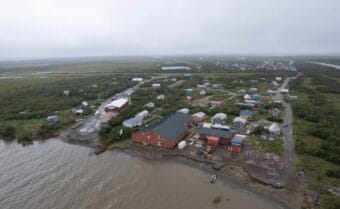
On Saturday afternoon, the Weather Service issued a flood watch from Sunday evening through Tuesday for parts of the northern panhandle including Juneau, Sitka, Tenakee Springs, Hoonah, Gustavus, Haines and Skagway.
The Weather Service warned of possible flooding and landslides, with the heaviest rains beginning Sunday night and continuing into Monday.
This post has been updated.